Although we have crisscrossed the northern part of Montenegro many times, Nature Park Piva is still a rather unknown area for us. We started our discovery trips in June of this year with an off-road tour along the Komarnica river. This time we intended to explore the plateau around Crkvičko Polje.
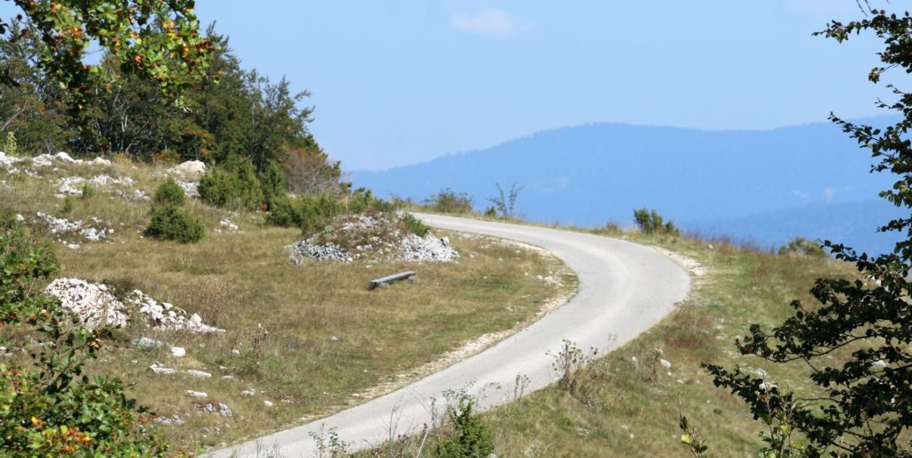
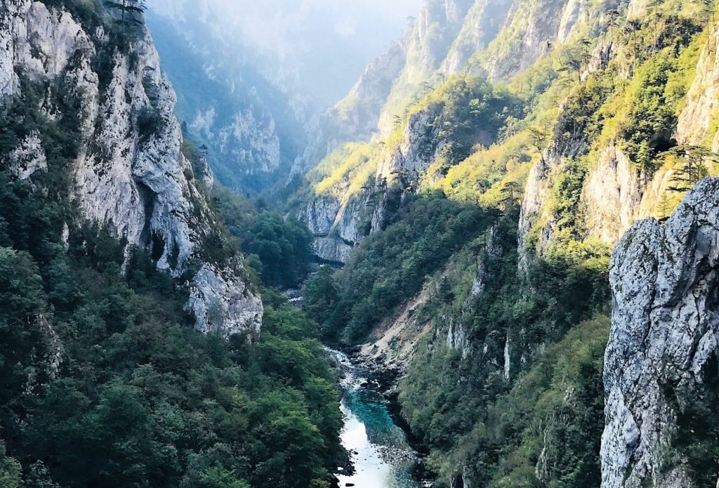
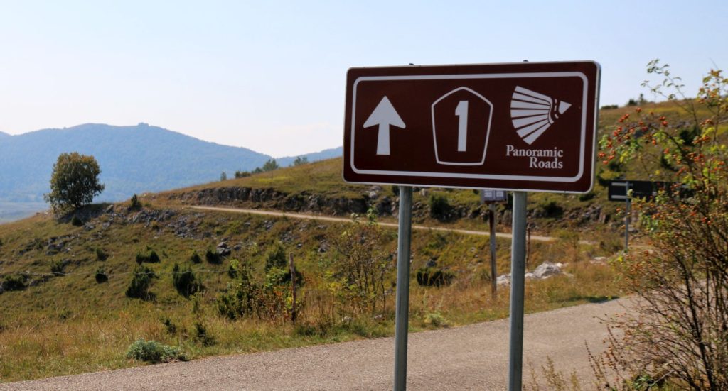 This area consists of mountain pastures and dense forests and is located between the Tara/Sušica canyon and the Durmitor mountains. It is especially interesting to mention that Panoramic Road No. 1, called „Crown of Montenegro“, also follows this route, offering plenty of adventurous experiences along a narrow, winding asphalt road.
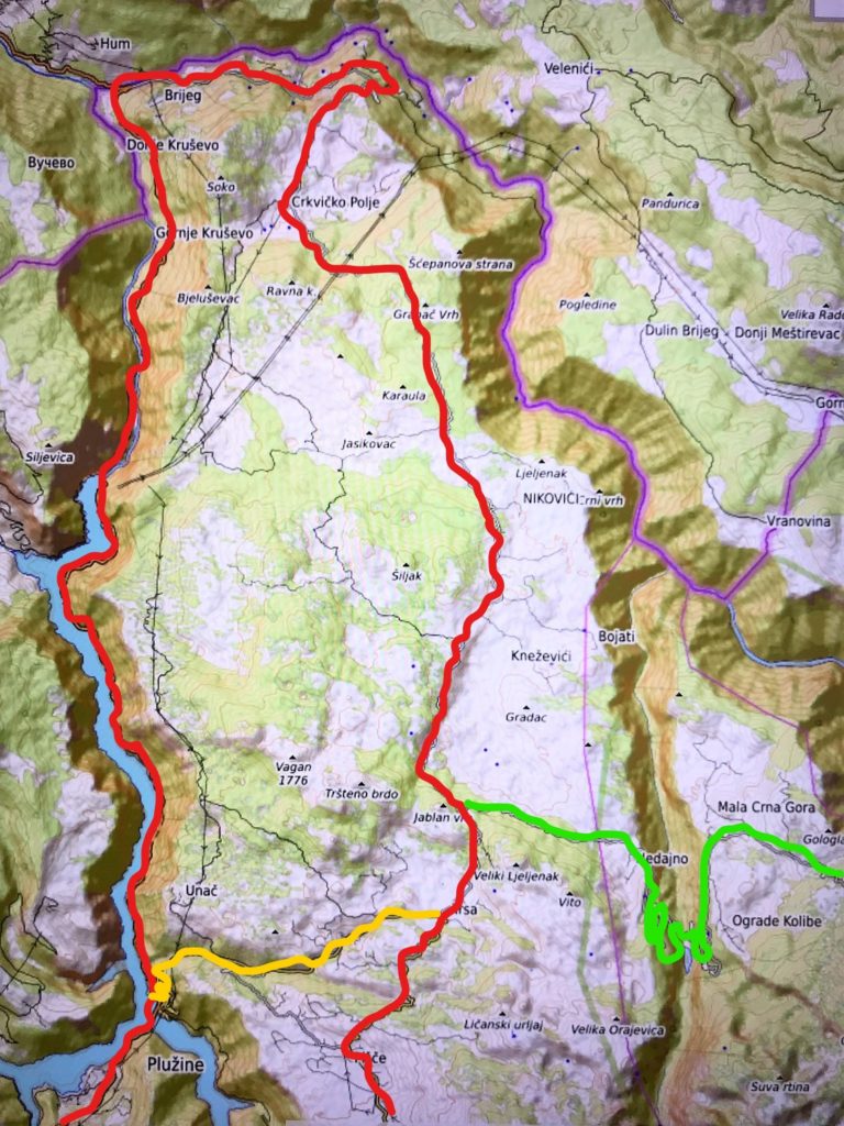
It is easy to combine this 330 km long day trip (see map below – red line) with various other routes through Nature Park Piva and Durmitor National Park (yellow and green lines).
Nature Park Piva
The Piva region was declared regional nature park in 2015. With its wild and untouched nature it is a paradise for hikers, mountain bikers, botanists and lovers of jeep safaris.
 Although mountainous landscapes dominate, its relief is varied, with pastures and woods, several lakes and the deep canyons of the Tara, Piva and Sušica rivers. Well-preserved forests of white and black pine, beech, fir and maple complement the wealth of flora in the Park.
More than 20 villages and hamlets are harmoniously embedded in the marvelous landscape of this region. Although most traditional shepherd settlements were abandoned, the remaining cottages still show how harsh and lonely life in these „katuns“ must have been.
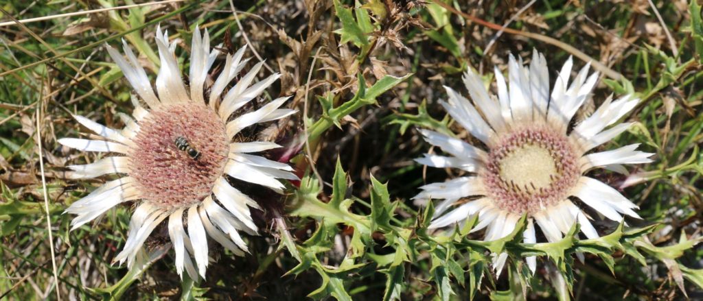 More than 1500 plant species can be found in Nature Park Piva. Many of them are used by the locals for medicinal purposes or food. The Park is also home to wild boars, chamois, deer, birds of prey and even bears.
Situated in the middle of the Park, on the shores of Piva Lake, is the stunning town of Plužine, surrounded by the spectacular mountains of Pivska Planina and Durmitor. The Lake was formed by the construction of the Piva Hydro-Electric Plant built in the seventies of the last century. Piva Lake is 45 km long and up to 200 m deep.
The Route
 The distance from Podgorica to Plužine (via Nikšić) is around 110 km. Here you can make a break at „Zvono“, a well-known guesthouse and restaurant, famous for its art exhibitions and jazz concerts. From Plužine you just follow the road along Piva Lake to Šćepan Polje (26 km), pass the Montenegrin border crossing point (don’t forget your ID or passport) and then turn right – before reaching the border of Bosnia and Herzegovina – in the direction of Crkvičko Polje.
The narrow asphalt road runs high above the Tara Canyon, through dense pine forests, to the village of Crkvičko Polje. You will see several signposts for hiking and mountain biking trails along the road, but the asphalt road continues to the village of Kneževići. Here you can stop at a panorama point from where you have a fantastic view of Vojvodića Rupe, the so-called „green mountain sea“.
 Turn right at the first junction after Kneževići and soon you will reach the village of Trsa, where you can have lunch at the „Milogora“ Restaurant and continue your trip by the „Ring around Durmitor“. Just follow the Sedlo Pass Route to Žabljak.
From Trsa you can also return directly to Plužine (13 km) by a narrow road with breathtaking views of Piva Lake. Another alternative is turning left at the first junction after Kneževići towards the northern part of the „Ring around Durmitor“, through Nedajno, the Sušica Canyon and Mala Crna Gora to Žabljak.
Our Tour
 It took us two hours by car to reach Plužine, where we had our first break. Plužine (1500 inhabitants) has an interesting history. The old town is now at the bottom of Piva Lake, as it was flooded in 1975, due to the construction of a hydro-electric power plant with a huge dam on the Piva River. A completely new town was built in the seventies and the medieval Piva Monastery was moved, stone by stone, to Goransko, another village above the Lake.
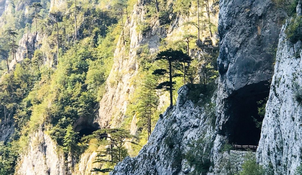
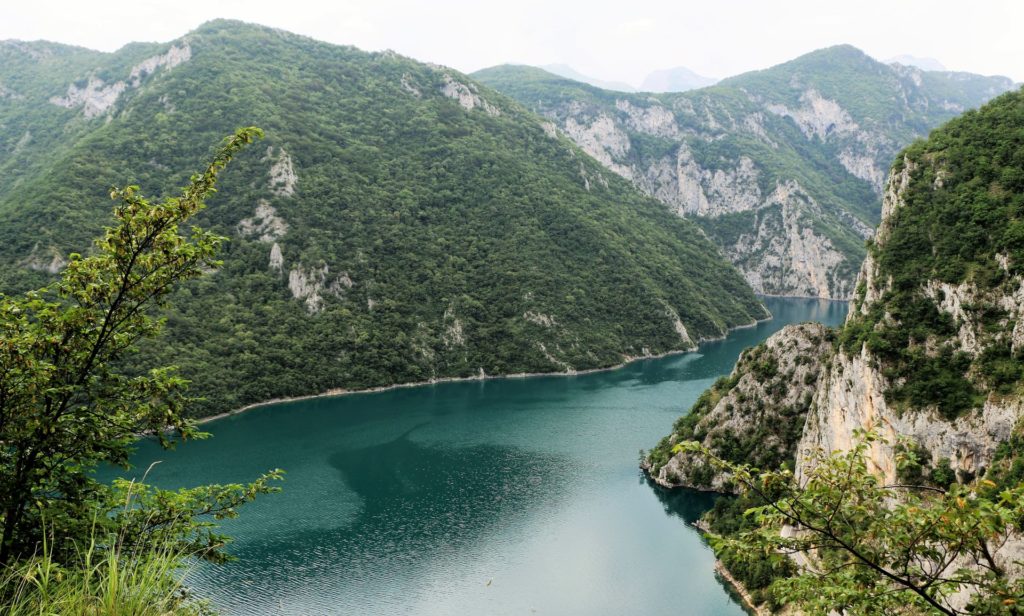
Following the road from Plužine to Šćepan Polje, we passed through 58 tunnels, most of which were directly cut into the towering vertical cliffs. We enjoyed the view of the emerald green Piva Lake and admired the tall black pine trees growing from the steep rocks. The water level of the Lake was extremely low, due to the dry summer. From the 240 m high dam we could see the blue Piva River, deep below us.
 Šćepan Polje is the place where the Piva river joins the Tara and together they form the Drina. Rafting has become particularly popular in recent years and many tourists are attracted by the rafting camps (Camp Grab), where they can book rafting tours of different durations along the Tara river.
This is where we passed the Montenegrin border crossing point. When we mentioned that our destination was Crkvičko Polje, it was sufficient to show our ID’s. There was no need to pass the wooden bridge and the border of Bosnia and Herzegovina; we just turned right towards Camp Grab on the Tara River. There were several signposts that pointed to cultural monuments , but as it was our intention to dedicate our trip to natural beauties, we continued uphill, towards the plateau of Pivska Planina.
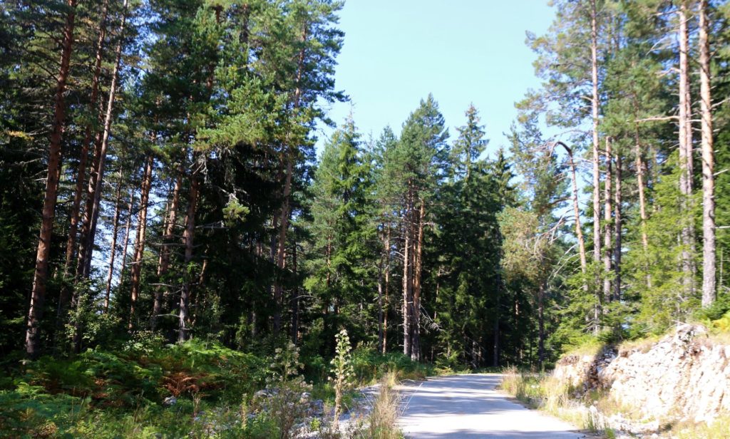
 The landscape was hazy and we could hardly see the Tara River, far back in the depth. Dense pine forests on both sides of the narrow road, without any other traffic or signs of life, made us feel as if we were far away from civilization.
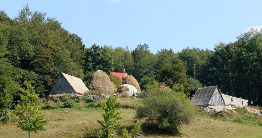
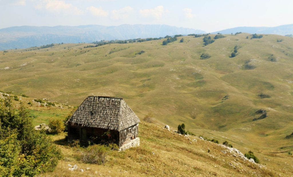
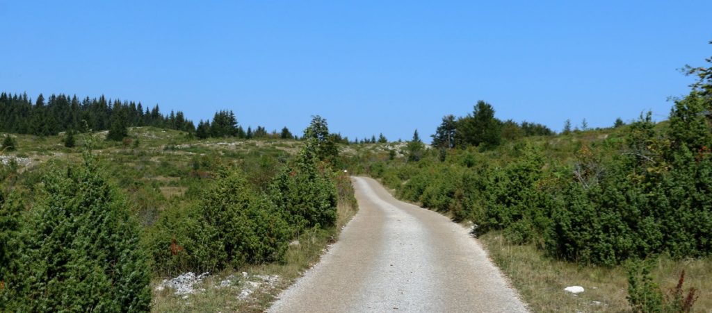
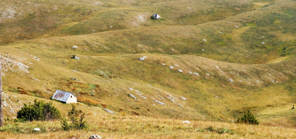
When we arrived in the village of Crkvičko Polje (1110 m above sea level), the landscape changed. Vast pastures, here and there covered with thistles and juniper trees, alternated with beech and maple trees. Birds of prey were circling above the fields and picturesque clusters of traditional houses, stables and hay stacks showed that the area was not abandoned at all.
 No wonder, as this region is becoming more and more popular, in particular for mountain bikers and hikers. At many places we saw detailed signposts and marks. Yes, this is a wonderful region for nature lovers indeed!
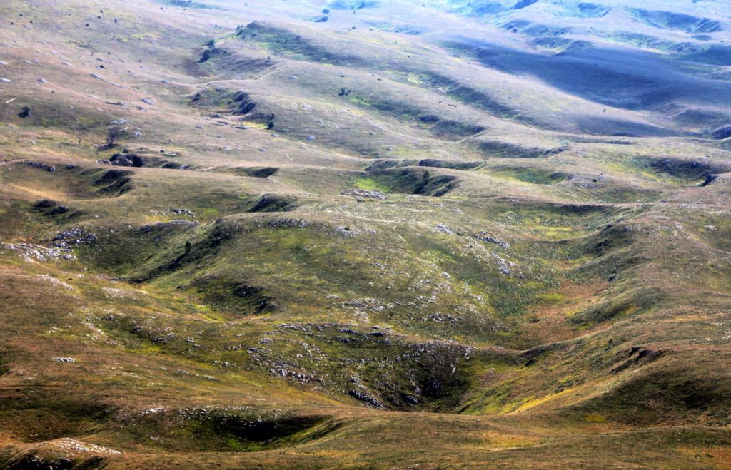
Before we arrived in Trsa, we stopped at the panorama point in the village of Kneževići, from where we had a wonderful view of Vojvodića Rupe, the so-called „green mountain sea“. In the old times, cattle could be left here without shepherds for the summer.
In my opinion, this was the most impressive part of our tour. It is a miracle of nature that looks like a moon crater landscape, covered with grass. These fields of karst sinkholes have not been sufficiently explored yet. I am sure that it is an interesting area for botanists, archaeologists and other scientists. I cannot wait to return next spring, when the pastures are covered with flowers!
 Soon we arrived at a junction, where we turned right to Trsa for a delicious trout at the „Milogora“ Restaurant. We had already traveled the road over the Sedlo pass to Žabljak many times, but this route always offers nice experiences.
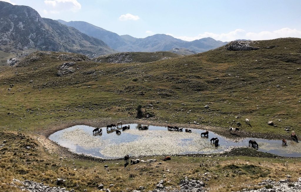
Many local tourists and hikers enjoyed this beautiful day in Durmitor National park and it was pretty crowded along the “Durmitor Ring”. The grass was dry and the wild flowers had disappeared, but this time we had another wonderful surprise: a great flock of wild horses was bathing and drinking in a pond below the road and offered a great opportunity for beautiful photos.
From Žabljak we took the main road to Podgorica, satisfied but tired, as driving 330 km over mountain roads in one day is rather exhausting. But it was a worthwhile effort and I believe that this trip through Nature Park Piva is one of the most interesting and varied tours through the northern part of Montenegro!
I like Your travelstories. We have visited Montenegro for 5 Years ago and enjoyed it.
Prachtig en ik mis Crna Gora
I have enjoyed your story for every detail. Thank you for being so patient in ‘decorating’ it.
Thank you for your travel stories about this relatively unknown part of Europe beyond the sea shore.